
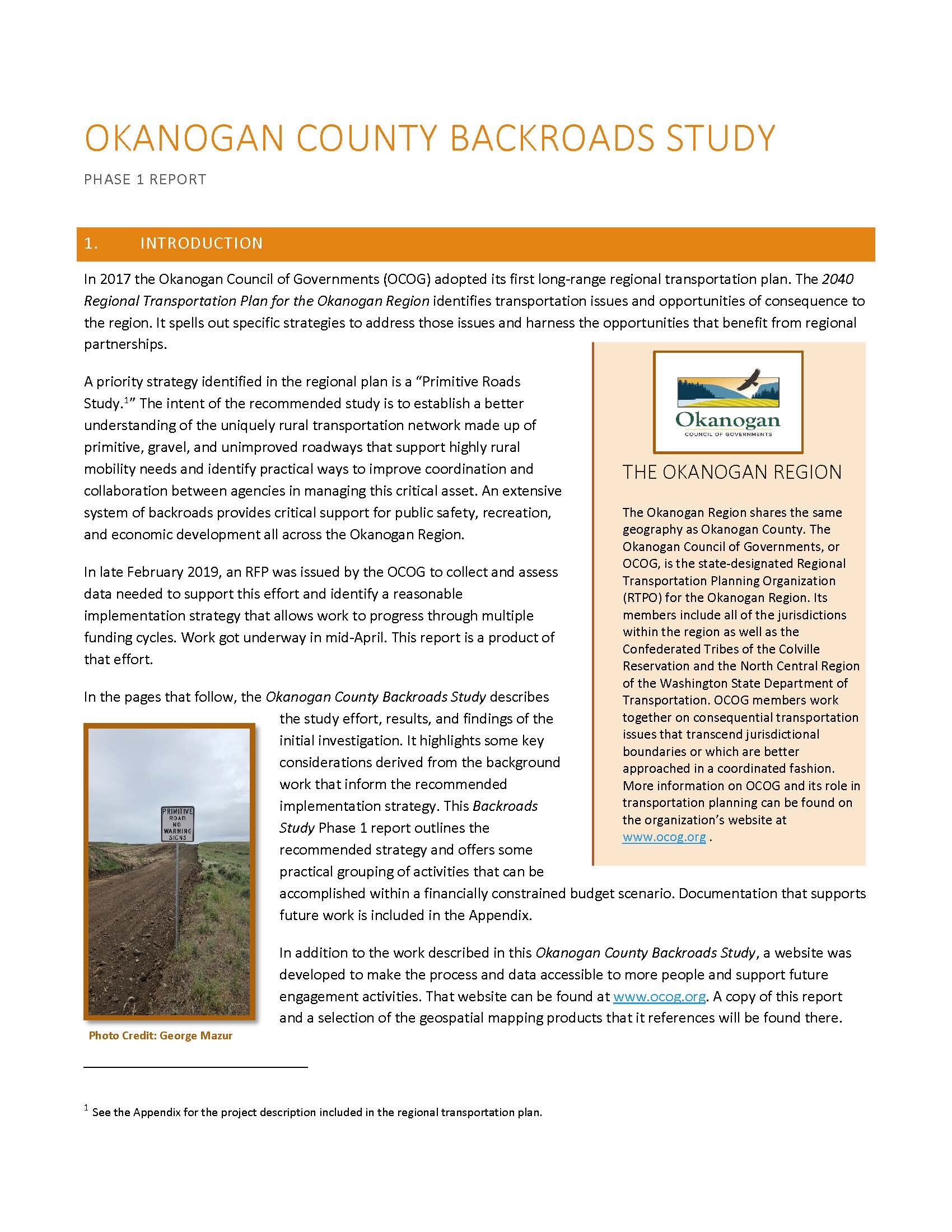
Backroads Study
the Backroads Survey
One of the priority actions within the Okanogan Regional Transportation Plan is the study of "Primitive Backroads" that support mobility needs across the most rural portions of the county.
To better understand these highly rural backroad networks, we wanted to learn more about how these roads work to meet the needs of the following:
Public Safety & Emergency Response
Rural Housing
Recreation & Tourism
Agriculture & Economic Resiliency
The survey ended May 31, 2021.
Phase 1
A priority action identified by the OCOG in its 2040 Regional Transportation Plan is development of a strategy to increase the resilience of the vast gravel and primitive roads network that supports the region’s back country mobility needs. This highly rural network is owned and managed by local, state, federal, and tribal land management agencies, each with its own mission, needs, and standards. Some routes are being lost due to damage and inadequate funding. Coordination between agencies about essential mobility needs is lacking. The region’s backroads form an increasingly fragile network, yet people count on it more and more for essential access and mobility.
In July 2019, OCOG completed a strategic scoping phase to develop a reasonable plan of action and assemble the resources needed to identify and evaluate priority routes. The Okanogan County Backroads Study - Phase 1 Report lays out a pragmatic implementation plan for identifying a priority gravel and primitive roads network to support essential rural mobility needs in the Okanogan Region. The objective is a coordinated network of high priority routes that function seamlessly across the region’s backcountry, regardless of land management agency ownership or responsibility.
Existing local, state, federal, and tribal routes lace the region’s backcountry, intersecting at critical junctures. These routes serve a variety of purposes, oftentimes quite different than what they were built or maintained to do. Many roads are straining to support current uses and emergency needs. At the same time, every agency responsible for building and maintaining some part of this network faces severe funding shortfalls for transportation projects and mounting backlogs of deferred maintenance.
Phase 2 implementation efforts are dependent on funding. OCOG is working to establish inter-agency partnerships needed to successfully pursue grants for the process and data collection recommended in the Backroads Study - Phase 1 Report. The need is clear. OCOG will continue to promote the development of a backroads strategy as a regionally significant priority that enhances the region’s overall resilience, mobility, and economic opportunity.
Phase 1 activities included assembling existing Geographic Information System (GIS) data layers, or coverages, to assess what information is available from each agency about the roadway network. This information helped to inform the scope of work described in the Phase 1 report. As the project progresses, these datasets will be used to identify and assess gaps within existing infrastructure networks and evaluate management strategies.
Phase 2

The purpose of Phase 2 of the Backroads Study was to identify and prioritize the extensive system of backroads that provide critical support for rural residents, public safety, recreation, and economic development across the Okanogan Region.
Of the over 10,000 miles of mapped roads within Okanogan County, 8,220.7 miles were selected for consideration within the Preliminary Backroads Network. The Preliminary Backroads Network was then scored against a list of metrics developed through interviews and feedback from OCOG members, Land Management Agencies (LMA), Colville Confederation of Tribes, various stakeholders/user groups, and the Okanogan community at large.
Through this scoring process, 4,958 Primary Backroad Segments totaling 1,982.7 miles of road were identified for their ability to meet the stated needs of the backroads network. From these segments 25 Priority Backroad Routes, 15 secondary (B) routes, and 3 additional routes were identified for further evaluation and consideration as part of the Priority Backroads Network in Okanogan County. The Priority Backroads Network includes 923 unique road segments offering direct access to 397.7 miles of rural Okanogan County.
[Note: to see the Legend for each map, first click on the Layers button near the upper left corner and then click on the arrow next to the name field that opens on the right of your screen. That will show the legend for the map. To see the attributes or characteristics associated with each layer, simply click on a colored line on the map. The original data associated with that segment in that database will open.]
Maps from the Backroads Study:
There is possibly nothing more representatively iconic of rural Washington State or, perhaps of rural America than is the simple line of an unstriped, unpaved road hugging the land contours as it stretches through large, open spaces and reaches towards a distant horizon…this kind of road is not just emblematic of the history of surface transportation in our state, but is very much a functioning part of the system as it exists today, and will remain an important part of it for many future years. - County Road Administration Board: 2016 Gravel Roads Study
